mapazonia
Latest
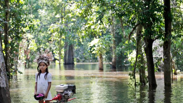
Collaborative mapping project will chart the Amazon's rivers
Crowdsourced mapping efforts are helpful in many places, but they're most useful in corners of the globe where even the professional maps are incomplete -- you can address gaps in coverage that might be difficult for distant observers to fill. And OpenStreetMap knows it. The community-driven site has just launched Mapazonia, a project that asks you to help chart the Amazon's rivers and roads. It's not expecting comprehensive data when the area spans 2.1 million square miles, but it believes that your first-hand knowledge could put missing towns on the map and fix inaccuracies in the shoreline.
