TL18TSAT
Latest
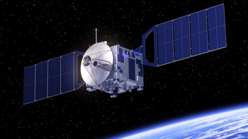
Bill Gates, SoftBank and Airbus back plan to livestream the Earth
Exploring the planet from the comfort of your own home is nothing new -- Google Earth has largely cornered the market on that. But what if, instead of looking at static pictures of your own house, you could explore views of the entire planet, in real time? It sounds ambitious, but that's exactly what space imaging startup EarthNow aims to achieve.
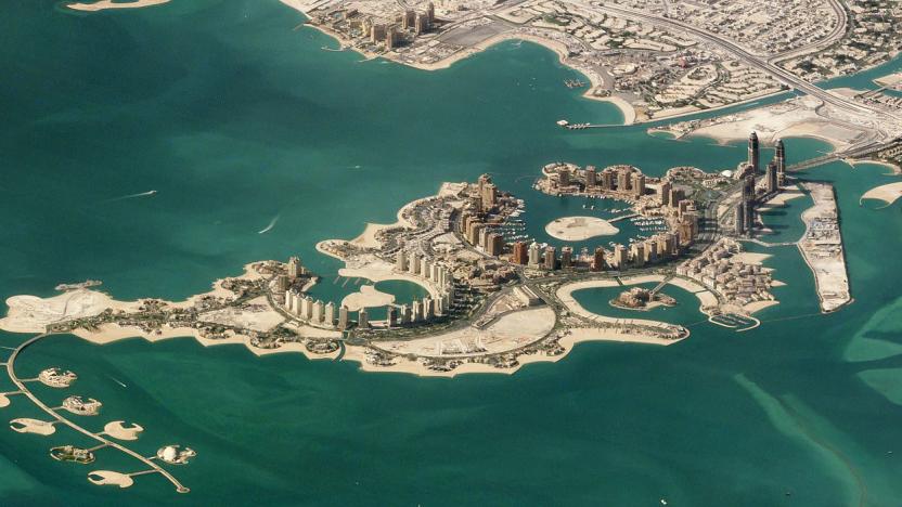
Side view satellite images turn the Earth into 'Sim City'
Satellite images can still enlighten and delight, but we're so spoiled by constant views from space that it's hard to surprise us. Satellite imaging company Planet has managed to do just that, however, with a collection of new images, including a shot of the man-made Pearl-Qatar island in Doha. Rather than shooting straight down, the satellites captured the images from oblique angles, creating orthographic-type views reminiscent of games like Sim City.
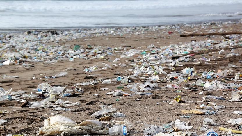
ESA plans to measure ocean plastic data from space
Scientists at the European Space Agency (ESA) are working on a technology that would allow them to identify from space just how much plastic there is floating around in oceans. Until now, researchers have used satellite maps to simulate the accumulation of marine trash, but the new project would use direct optical measurements to provide actual data on the scale of the issue.

NASA wants your pictures of clouds to verify its satellites’ data
NASA announced this week that it's looking for some citizen scientists to help out with a project. Six orbiting instruments make up NASA's Clouds and the Earth's Radiant Energy System (CERES) project and they are used to study Earth's climate and the role clouds play in climate change. But sometimes it's hard for these instruments to differentiate clouds from other Earthly things. For example, NASA says that thin, wispy cirrus clouds and snow can easily be confused because they're both cold and bright. Differentiation gets even more difficult when these clouds hang out above patches of snow. And that's where citizen scientists come in.
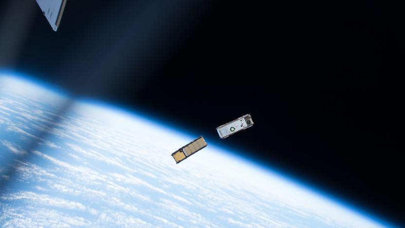
A tiny NASA satellite mapped Earth’s atmospheric ice
Last May, NASA launched a small, bread loaf-sized satellite into orbit around Earth. Dubbed IceCube, the satellite's mission was to measure cloud ice in our planet's atmosphere -- a challenging task that researchers have previously only been able to perform in limited ways. Sensing ice clouds requires measurements at a range of frequency bands but particularly within what are known as submillimeter wavelengths, or electromagnetic wavelengths that fall in between those of microwave and infrared waves. The problem is, instruments that can take those kinds of measurements have previously had to be on board high-altitude research aircraft, meaning measurements were limited to the areas where those aircraft were flying. Launching a satellite that can perform those measurements could open up what parts of the atmosphere can be studied, and that's where IceCube comes in.

Prototype satellite makes way for 4K 'Earth observation'
British company Earth-i confirmed the successful launch of a prototype satellite earlier today. Called the CARBONITE-2, it's an early test version of a planned constellation (the Vivid-i) that will be the first network bringing full color, full motion video from Earth's orbit.
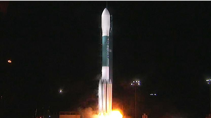
NASA satellite launch promises accurate week-long forecasts
NASA and NOAA know that multi-day weather forecasts can be crucial to tracking hurricanes and their aftermath, and they're about to significantly boost the reliability of those forecasts. They just launched JPSS-1 (Joint Polar Satellite System-1), the first of a series of NOAA satellites that should improve the accuracy of weather forecasts extending as long as a whole week. It includes five upgraded instruments (including an infrared imaging sensor and a microwave sounder) that can track weather-influencing factors with exacting detail, such as atmospheric temperature, clouds, ice cover, ocean colors and volcanic ash.


