kites
Latest
Alphabet quits work on its energy-generating kites
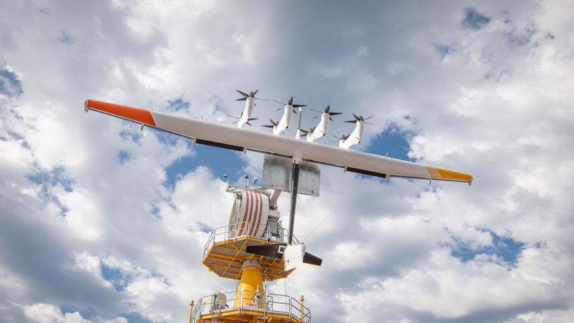
Alphabet's years-long involvement with energy-making kites is no more. The Google parent is ending its work on Makani's wind power technology, with X's Moonshot lead Astro Teller warning that the path to a viable business was "much longer and riskier" than expected. Alphabet liked Makani's environmental focus, but felt that it was important to pour effort into those areas where it believed it could "have the greatest impact."
Part of Scotland will soon be powered by kites
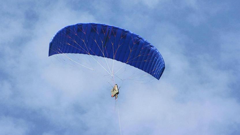
Name a method of generating power that's cheap, efficient, sustainable and sounds like something Mary Poppins dreamed up after downing 20 teaspoons of sugar. That's right -- kite power. One of the world's first non-experimental, kite-driven power stations will be established offshore in Southern Scotland, at the Ministry of Defence's West Freugh Range near Stranraer. UK company Kite Power Solutions plans to install a 500 kilowatt system that it expects will generate 'several hundred megawatts' of energy by 2025, Independent reports.

Google Earth adds balloon and kite aerial imagery, invites you to contribute
Google Earth already offers quite a variety of ways to explore the planet, but the folks in Mountain View never seem content to leave things alone for long. Their latest addition is some aerial imagery of a slightly different sort -- images shot from ordinary balloons and kites. That initial batch of photos comes courtesy of The Public Laboratory for Open Technology and Science, which is itself a grassroots effort that anyone can contribute to. And that's apparently what Google hopes folks will do in order to expand the aerial views available -- as Google notes on its Lat Long blog, all that you need to get started is a digital camera and about $100 in parts, plus a little initiative. Complete details on how to start your own DIY mapping effort, or simply explore the options now available, can be found at the links below.

MIT-based Grassroots Mapping mapping the oil spill with digital camera, kites
Grassroots Mapping, a project born out of MIT fellow Jeffrey Yoo Warren, is seeking to photograph and "map" the oil spill in the Gulf of Mexico. Their project seeks to come up with cheap and easy to find tools for aerial photography. Their newest project is using cameras attached to kites to photograph the oil spill in the Gulf of Mexico in order to assess the damage and help along the response to it. The Gulf mapping project got under way on May 5th, and the project is now accepting donations to help fund its research. The results (which you can see above) are incredibly striking. A video is below -- hit up the source link for more images.


