This map shows you how far you can go in 10 minutes
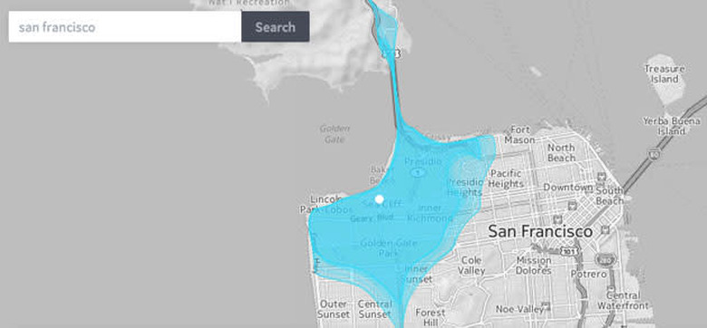
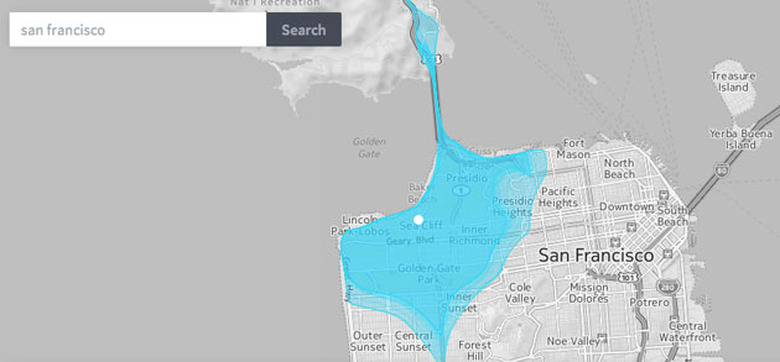
Commuting is often, no, regularly, hell. And now there's a map to prove it. Enter a city into the Isoscope map, and it will show how far a two, four, six, eight and ten-minute drive will take you, specific to the day of the week — and to a prescribed hour of awful, awful rush-hour traffic. You can click multiple areas and adjust the hour, increasing or decreasing where you're able to go. If you've only get a 30-minute lunch break, you can try to make that work. "We wanted our project to shed light on situations when urban mobility is compromised, when the pulse of the city falters, such as during traffic jams," developer Sebastian Kaim told Fast Company. There's also a pedestrian option for non-drivers, and after testing a few cities and times, we're thinking next week could well be a work-at-home kind of a week.