Wayper is a nice planning and navigation app but it's not good for drivers

Wayper (free today only, then US$1.99) is a map app designed to avoid data charges by letting you download detailed maps of 27 cities worldwide.
In the U.S., that includes New York, San Francisco, Los Angeles, Sacramento, San Diego, Chicago, Washington, Boston, Buffalo, Rochester, Pittsburgh and Las Vegas. You can download just the maps you need. Internationally the app supports Paris, Berlin, Amsterdam and more. There's a complete list at the App Store.
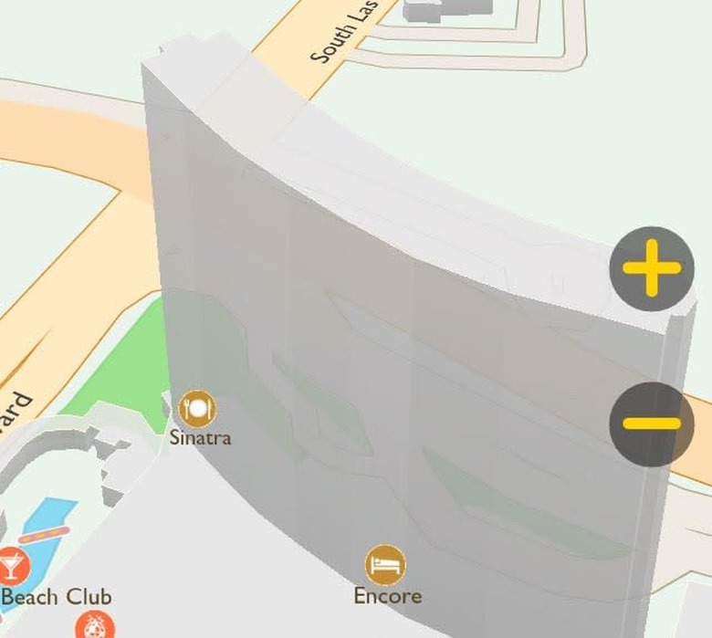
You can search for an address, a point of interest, or an intersection. In my testing, the app responded quickly. When plotting a travel route, Wayper provides several options including bus and pedestrian routes. If you zoom in enough you will see 3D outlines of buildings, and the renderings are speedy when you rotate the map to change perspective. Although not stated on the app information page, it is really designed for walking and transit directions. There are no time estimates for driving, which seems a strange omission.
Wayper is missing is any GPS connection, so it doesn't know where you are. You must set up your current location and then your destination. (Note: the developers say the app does show your location, so with an associate we tried again. One time the GPS marker was there. Another time it wasn't. It's hard to know exactly what happened, so I'll give the people behind the app the benefit of the doubt.) The map draws several possible routes with time estimates. But once you get going, there are no turn-by-turn directions. In addition, while the app has a large POI database, other than the name of a place there is no further information. And your contacts list is not attached, so if you are going to someplace in your contacts you will come up empty.
I get that this is route planning and it saves on data, but there are other solutions, some free, some not. Google recently added the ability to save maps offline with their iOS app, and the Google maps are arguably better than Wayper maps. Apple Maps can cache maps to places you have already been, with detail down to the street level, but you'll have to visit those locations while you have a data connection. Both Google and Apple have options for pedestrian and public transport options. (Apple Maps sends you to 3rd parties for transport directions.)
Commercial mapping products like Navigon and Garmin have maps built in, but they are not free. Maps with me Lite (free) for iOS will download maps you can take with you on your journey, but it doesn't offer turn by turn directions either.
Wayper is an interesting app, especially for free, but I don't think it goes far enough to offer you any meaningful real time navigation with turn by turn directions or hooks into your address book. They need to add more cities, like London, but the company says more cities are on the way. Wayper could be useful for walking directions or close by destinations, but I think there are other, better options.