Google Maps will help you navigate US national parks
It will use community contributions to offer more information about trails and key attractions.
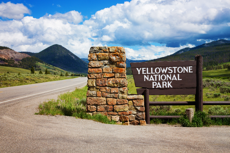
Google is updating Maps with more detailed information about national parks in the US to make them easier to navigate and potentially prevent from getting lost. When you search for a particular park on Android or iOS, you'll now see photos and videos of its key attractions — say the Old Faithful or the Grand Prismatic Spring at Yellowstone — taken by others who'd been there before.
Maps will now also highlight an entire trail from beginning to end when you search for it instead of just dropping a pin on its general location. You'll even find details regarding its difficulty, along with information on whether it's more suitable for walking, running or cycling. To make it even more informative, Google will show other people's reviews of parks and trails, along with other useful details, such as where to find the nearest public bathroom.
Since national parks are huge and are often confusing, Google will start highlighting park entrances later this month, as well, with Maps pointing you right to the trailhead. Finally, Google will make it possible to download offline maps for parks so that you don't have to worry about not being able to find your way if you suddenly lose access to the internet. Downloadable maps will also available later this month.
These features will initially roll out for national parks in the US, but Google plans to make Maps more useful to hikers around the world and will add more detailed information for national parks in other countries later this month. If you want to virtually explore a park first, though, you can hit up Google Street View where you can find imagery for dozens of national parks.