MTBProject offers big assist for mountain biking enthusiasts

If you do a lot of mountain biking, you need this app. You should download MTBProject even if you only hit the trails occasionally. The free universal app runs on iOS 6.1 or later and offers an in depth database of thousands of trails across the United States and users don't need to have cell or wi-fi service to use the app.
The MTBProject app allows users to access detailed information on all of these trails beforehand and download the information to your phone. Users automatically can see trails near their current location but can also choose data on trails from all fifty states, Canada, Mexico, Australia, New Zealand, and some European and Asian countries. Just download the ones you need and you can delete the info later if you want.
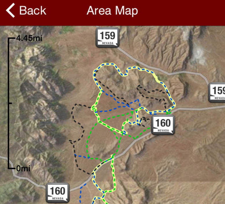
Once you select the state, the map indicates where included trails can be found and as you zoom in on the map the individual trails become visible. Each trail is color-coded from green to green/yellow to yellow to yellow/blue to black as they increase in the number of challenges and overall difficulty. The map has satellite imagery so users can get a good look at just what the terrain will be along the path.
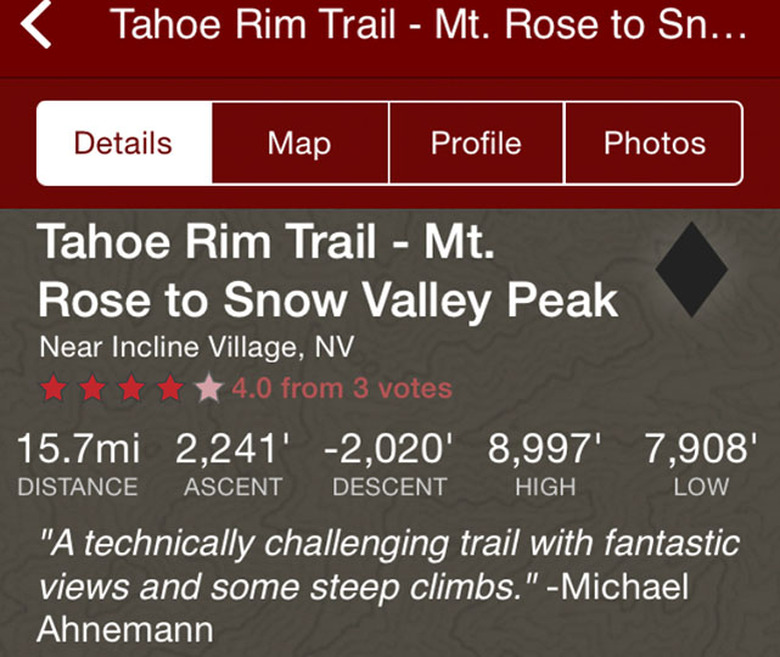
Tap the trail you want to ride and the app brings up an overview with the length of the trail, how much change of elevation both going up and coming back down, the highest and lowest points of the trail, a detailed map, an elevation profile, and any photos other users have uploaded to the app from along the trail. At the bottom of the page is a detail written description of just what riders will encounter during the trip including climbs, descents, obstacles, changes in surface, and other details to let you know what lies ahead.
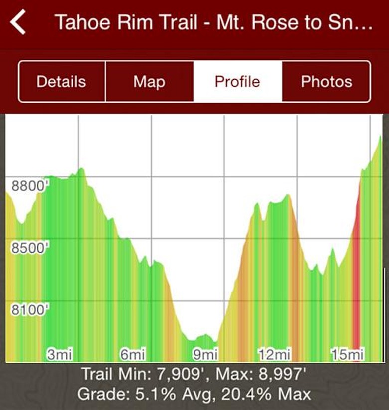
The profile section for each trail provides riders with a side view of what the elevation changes are along the entire route, The graph shows actual elevations along the trail and by tapping anywhere along the route you will see the distance from the beginning of the ride, the elevation, and the angle of the slope at that point.
Other markings on the trail maps include parking locations, hazards, and scenic overlooks. Additionally once you check in and begin your ride, the GPS in your phone will mark your exact location on the trail map. About the only other thing users might want is some type of social media connection that you could use to share your ride or pictures right from the app.
Overall I found MTBProject to be quite detailed and thorough with loads of graphics, photos, and information that should give mountain biking enthusiasts just about everything they need to be prepared for their next cycling adventure.