Google Maps updates help you travel in the COVID-19 era
Know about checkpoints along your route, possible crowds and more.
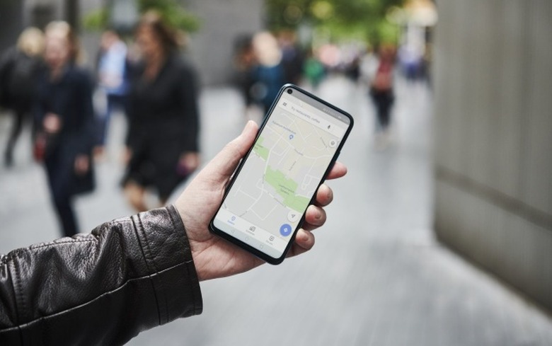
Google has rolled out two new features for its Maps app meant to help users get around safely in the time of COVID-19, according to a new post on the Google blog. The app now shows alerts informing you of any coronavirus-related travel restrictions and reports on how crowded public transit may be.
If you're looking up directions for a trip that may require you to wear a mask on public transit, will take you through a COVID-19 checkpoint, or will have another kind of COVID-19-related impact, you'll see a relevant alert on the app. Information for these alerts is gathered from "authoritative data from local, state and federal governments or from their websites," according to Google. These alerts are live in Argentina, Australia, Belgium, Brazil, Colombia, France, India, Mexico, Netherlands, Spain, Thailand, United Kingdom and the US., with plans to expand to more areas.
If you're going to a medical facility or COVID-19 testing center, Google Maps will display an alert telling you to check that you meet eligibility requirements. This feature is available for medical facilities in Indonesia, Israel, the Philippines, South Korea, and the U.S., and testing center alerts will be available in the U.S.
Finally, Google has simplified a feature it introduced last year that predicts how crowded public transit will be based on user-submitted data. When looking up a public transit route on Google Maps, crowd information can now be found by tapping through to see Transit Details, then scrolling down to see crowdedness predictions. You can also see the times when a public transit station has been busy in the past — just search for a station, or tap on it in the map to see relevant data.