Researchers tap AI for more efficient road maintenance
They're using AI to spot potholes and other road damage.

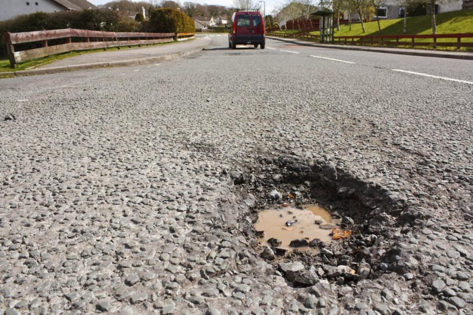

Potholes are a nuisance pretty much everywhere and the methods traditionally used to keep track of them aren't terribly efficient. Whether it be driving around to visually inspect roads or watching videos of streets to spot and prioritize the repair of pavement damage, strategies typically used by towns and cities require a fair amount of time and labor. But AI could make that process a bit easier and quite a bit faster. One group exploring the use of AI to support the municipal officials in charge of road maintenance has been developing a software system that could not only aid in road repairs but also bridge and building maintenance as well.
The group, led by John Zelek at the University of Waterloo, has been using road images sourced from Google Street View to develop its system, which automatically analyzes photos of roads to spot potholes, cracks and other damage. In theory, municipal officials could use the software to analyze images taken via vehicle-mounted phone cameras when employees are driving as part of their day-to-day work. "If governments have that information, they can better plan when to repair a particular road and do it at a lower cost," Zelek said in a statement. "Essentially, it could mean lower taxes for residents."
The researchers are also looking to apply the system to drone images taken of bridges, buildings and other infrastructure as well as images of construction projects. "If the parts of a new building aren't coming together properly, it would obviously be very beneficial to flag problems before the next 30 storeys have been put up," said Zelek.
The team has published multiple papers on the work, the latest of which will be presented at the European Signal Processing Conference next month.
