Ohio test uses drones to monitor highway traffic
You wouldn't need helicopters to spot road trouble.

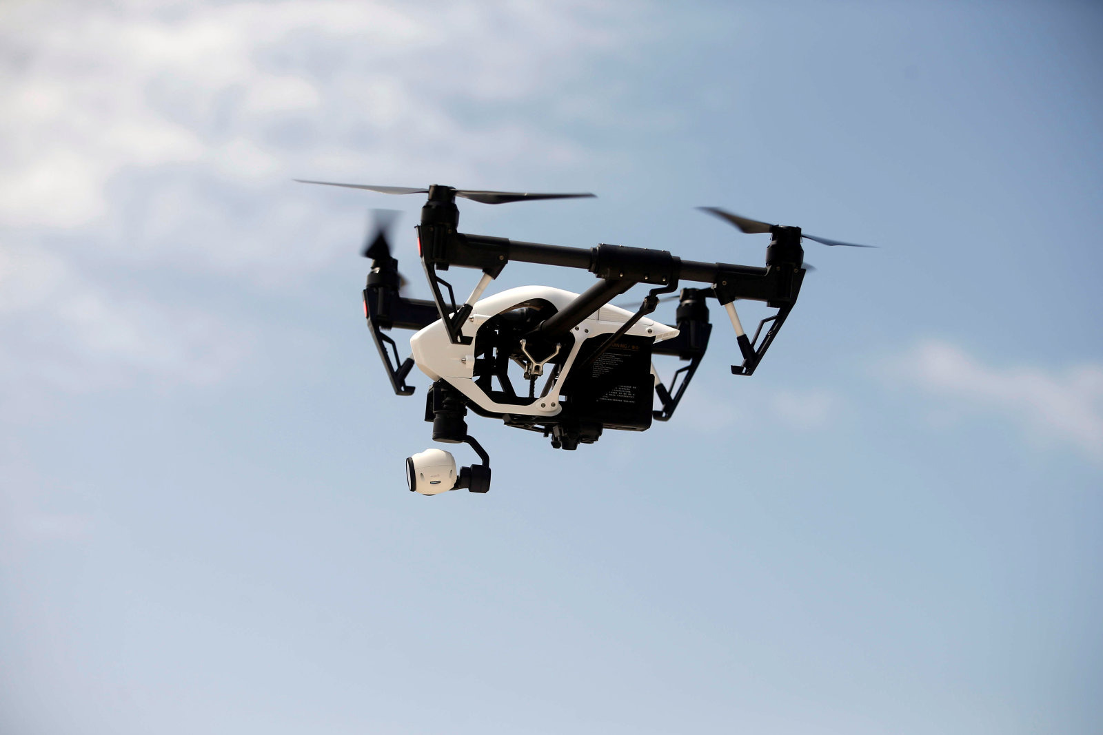
Highway traffic monitoring is frequently... less than efficient. Fixed cameras can't catch problems beyond their immediate location, while aircraft are both costly and inevitably have to fly back to a distant base to refuel. These systems may soon get a robotic upgrade, though. Ohio State University is leading a pilot program that will use drones for roadway and traffic monitoring along a 35-mile highway stretch (the Smart Mobility Corridor) between Dublin and East Liberty. The dry run will see drones feed tracking data to the Ohio Department of Transportation's Traffic Management Center to complement data from existing systems. If there's a traffic-disrupting crash or a washed-out road, this might help spot it sooner.
This should also help test the safe use of drones beyond existing FAA rules. It wouldn't be practical to use them for purposes like this when you have to fly them within line of sight, under 400 feet and away from people. The pilot will help researchers see what drones can truly do while finding a way to safely integrate them into crowded airspace.
The three-year research project officially kicks off July 1st, and is getting started with a $5.9 million investment from the UAS Center in the state's DriveOhio mobility initiative hub. That collaboration may be more important than you think — DriveOhio is particularly interested in how drone oversight could help its efforts to boost self-driving and connected cars. While there aren't clues as to specific uses, it's entirely feasible that drones could relay traffic info to help drivers and cars make informed decisions. A vehicle could automatically find a new route if there's a crash up ahead, for instance.