Alphabet's Wing introduces an air traffic control app for drones
OpenSky is available in Australia on iOS and Android.

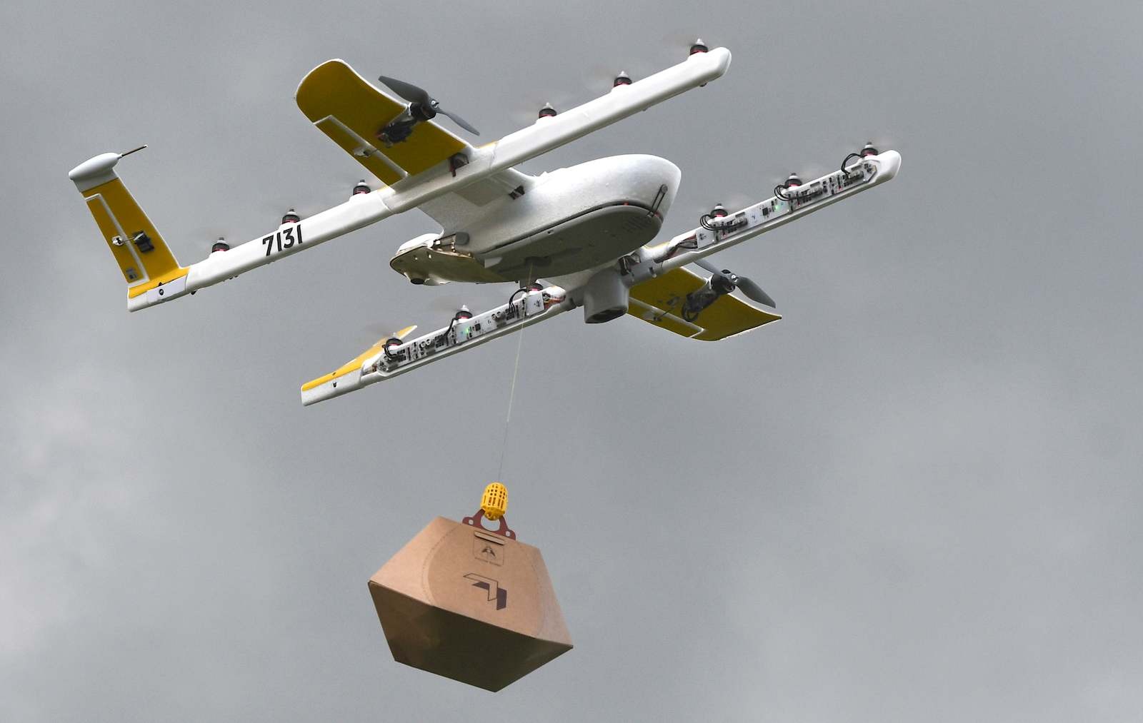
This spring Alphabet subsidiary Wing LLC became the first drone delivery company to receive FAA certification, and the company has successfully launched drone delivery service in Australia and Helsinki. Now, with more drones in the sky, it needs a way to keep them safe. Today, Wing formally introduced its OpenSky app, which could serve as an air-traffic control system for drones.

The free app is available in Australia and works with both iOS and Android devices. It's meant to help drone operators comply with aviation rules and plan flights safely and effectively, the company said in a blog post. The Australian version includes a checklist with a range of critical factors, including airspace restrictions, hazardous situations and proximity to airports and heliports. It will also alert users to emergency response situations and things like nearby sporting events. Eventually, OpenSky will introduce voice-capabilities to make the platform more accessible.
Introducing OpenSky, empowering everyone to take flight with confidence. OpenSky is currently available in Australia and approved by the Australian Civil Aviation & Safety Authority. Read more here: https://t.co/fMUvkPRyuE @CASABriefing
— Wing (@Wing) July 16, 2019
Wing isn't the only company working on an air traffic control platform for drones. NASA has spent four years working on its system, and starting next year, all DJI drones will detect and warn of nearby airplanes and helicopters. Even Ford has proposed a drone tracking system. But given Wing's relationship with Alphabet and all of the location data Google owns, it could have an advantage. It's unclear when OpenSky might make its way to the US, but Wing is preparing to launch a commercial drone delivery trial in Southwest Virginia sometime this year, so it could arrive sooner rather than later.