California deploys AI to detect wildfires before they start spreading
The program flags potential blazes from over 1,000 camera feeds across the region.
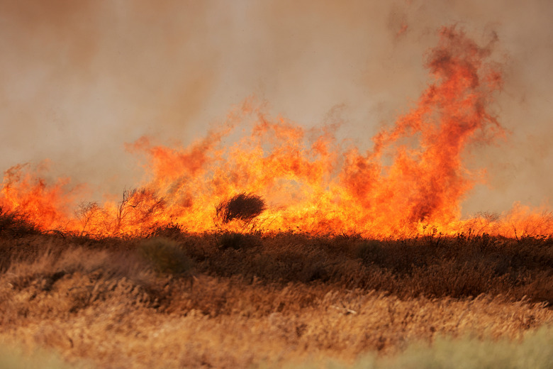
AI and climate change represent two ways humans may ravage life as we know it on Earth, but the former can also help with the consequences of the latter. The California Department of Forestry and Fire Protection (Cal Fire) revealed a new program today that uses AI to detect wildfires. Created in partnership with the University of California San Diego, the Alert California AI program takes feeds from 1,032 360-degree rotating cameras and uses AI to "identify abnormalities within the camera feeds." It then notifies emergency services and other authorities to check if a potential blaze warrants a response.
The program, launched in July, has already quelled at least one potential wildfire, according to Reuters. A camera reportedly recorded a fledgling fire burning at 3 am in the remote Cleveland National Forest east of San Diego. The AI spotted the inferno and alerted a fire captain "who called in about 60 firefighters including seven engines, two bulldozers, two water tankers and two hand crews." Cal Fire says the flames were extinguished within 45 minutes.
The Alert California technology website says it uses LiDAR scans taken from airplanes and drones to create "equally precise, three-dimensional information about scanned surfaces." It combines this with the physical traits of tree species to learn more about California's forest biomass and carbon content. Cal Fire says the ML model leverages petabytes of data from the cameras to differentiate between smoke and other airborne particles.
The system was developed by UCSD engineers using AI from the California-based company DigitalPath. Cal Fire has invested over $20 million in the program over the past four years and promises an additional $3,516,000 in the near future.
"We're in extreme climate right now. So we give them the data, because this problem is bigger than all of us," Neal Driscoll, geology and geophysics professor at UCSD who serves as the program's principal investigator, told Reuters. "We need to use technology to help move the needle, even if it's a little bit." However, Driscoll adds that the current sample size is too small to determine the program's overall effectiveness.
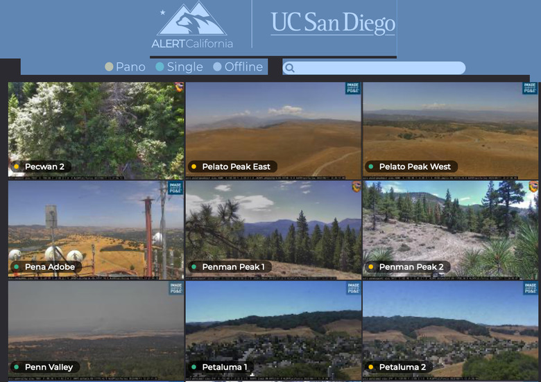
You can check out Alert California's "camera quilt" on your computer or mobile device. The website displays a grid of the remotely operated live camera views from across the region.