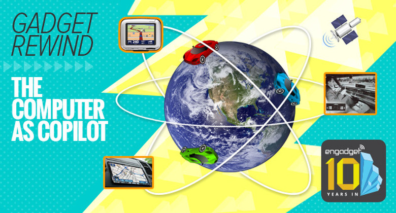
Pretty soon, we may not even have to drive ourselves, but we'll still need to rely on the incredibly complex infrastructure of satellites and gadgets to get us from point A to point B. In this week's Rewind, we look at some highlights in the evolution of in-car navigation technology, from old-school cartography to today's digital tools.
1 / 13
Movable maps
In 1921, John J. Bovy of Minnesota patented his idea for a handy navigation tool: a scrollable map which could be mounted near a car steering wheel. A similar, but wearable version of that concept arrived in the UK several years later called the "Plus Four" Wristlet Route Indicator.
Around 1932, an Italian company released its own navigation system called the Iter-Auto. This incorporated a scrolling map in a dash-mounted case, but added motor-connected cabling so it could advance the map automatically in pace with driving speed.