NOAA's solar storm forecasts now show the most affected areas
The new forecast model is a product of two decades of research.
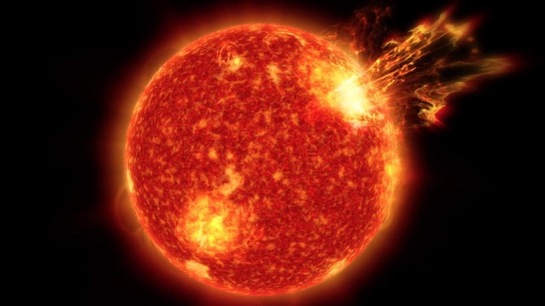
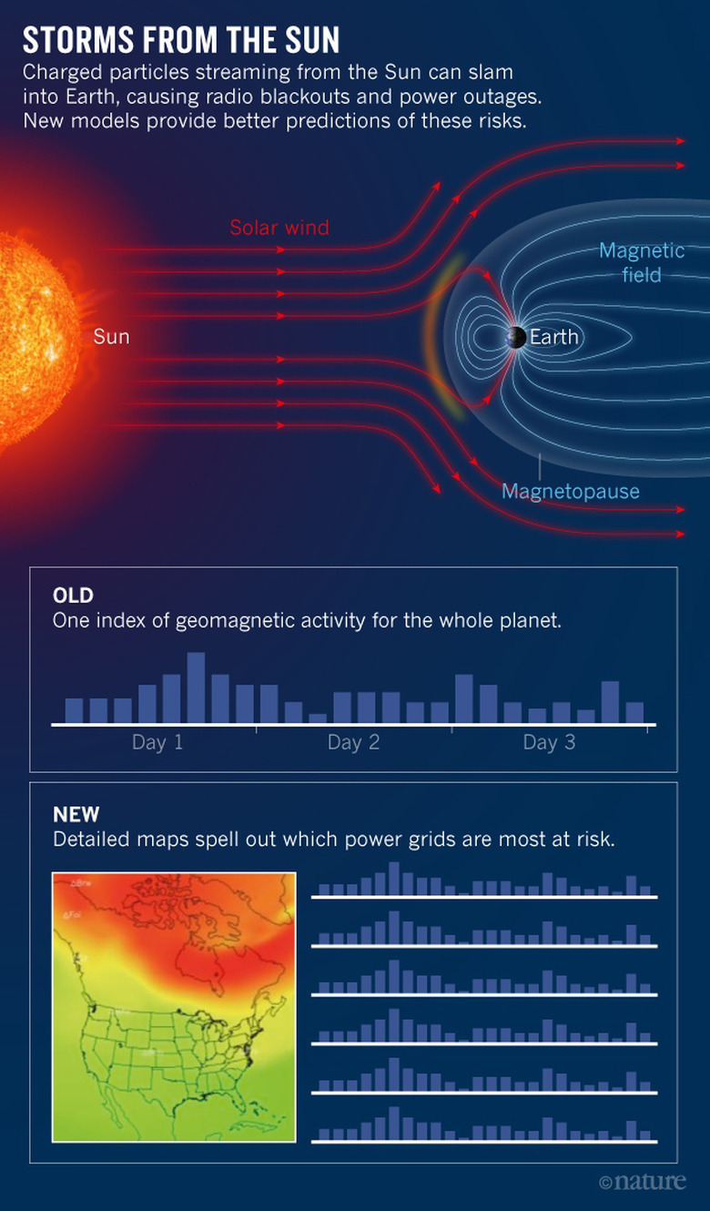
Solar storms are no joke — they can knock out power grids and leave entire towns in the dark. Unfortunately, the forecast model the US National Oceanic and Atmospheric Administration (NOAA) uses only shows the current geomagnetic activity for the entire planet. It can give us a pretty good idea of when a solar storm will happen, but it can't tell us where it will hit the hardest. That's why NOAA has developed a better forecast model that can pinpoint which locations in the world will be affected the most. For instance, it can show if a storm's bound to have a bigger impact on a European country than on the US, so power companies there can take the necessary precautions.
According to NOAA's lead forecaster Bob Rutledge, "This is the first time we will get short-term forecasts of what the changes at the surface of the Earth will be. We can tell a power-grid customer not only that it will be a bad day, but give them some heads-up on what exactly they will be facing."
To design this new model, NOAA had to combine three older models scientists developed in the past. The most important among the three focuses on the Earth's inner magnetosphere and describes how charged particles from the sun flow as they approach our planet's poles. The agency plans to continue refining this model further with the help of future studies. One of its goals is to determine whether the geology of the sites where power grids are built affects solar storms' intensity. While it took twenty years for NOAA to conjure up this model, we have access to newer technology these days, including the Solar Dynamics Observatory. If everything goes well, we might not have to wait that long for an even better one.
[Image credit: NOAA/Nature]