ContourLines
Latest
Bringing the wonder of old-school survey maps into three dimensions
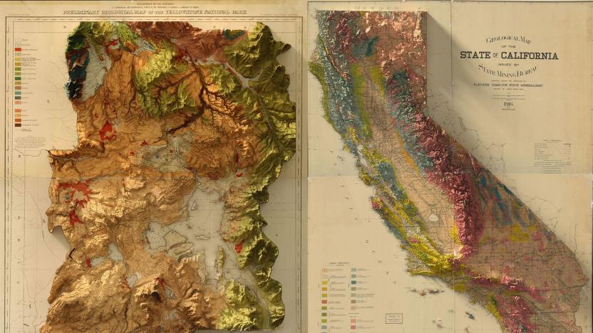
Mapping technology is infinitely better than it used to be, but satellites and LiDAR can never recapture the craft that went into making old-school US Geological Survey Maps. Instead, graphic designer Scott Reinhard is trying to bring a modern touch to the old designs using 3D technology. He used elevation data from the United States Geological Survey to create 3D elevations of the topography, then merged the data with the vintage designs of the old maps.
