0
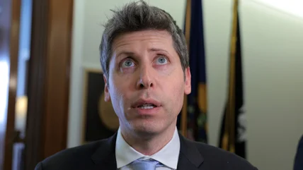
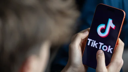
EU says TikTok hasn’t done enough to ensure minors' safety
The latest findings could come with a fine of up to six percent of TikTok’s annual revenue.
Read More
The latest findings could come with a fine of up to six percent of TikTok’s annual revenue.
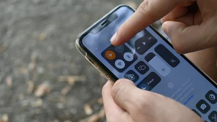
Read MoreIf you need to juice up your phone in a hurry, there are more effective tactics than turning on airplane mode.
Read MoreQualcomm, the maker of processors powering numerous Android devices, is raising its prices.
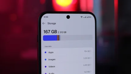
Read MoreCloud storage isn't your only option.
Read MoreHere are a few things to know if you're leaving Android for iPhone.
Read MoreReuters reports that the OpenAI agent that hacked Hugging Face had been free for a week before the company noticed.
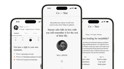
Read MoreCo-Star CEO Banu Guler is also becoming the company's Chief Design Officer.
Read MoreIt features a 3.97-inch monochrome e-paper display.
Read MoreAnthropic's latest model offers top-tier performance at a much cheaper cost.
Read MoreDon't just jump straight into a pool with your phone, you savage.
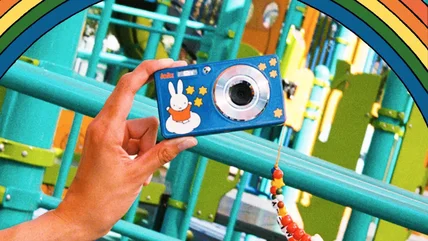
Read MoreLet's be honest we mostly wrote about this because we think it's really cute.
Read MoreFollowing its Unpacked launch event for the Galaxy Z Fold 8 series, Samsung briefly opened a theme pub in the middle of London.
Read MoreFacebook has introduced an app called Seller that effectively professionalizes Facebook Marketplace.
Read MoreMeta is trying to tackle scammers that are using generative AI by introducing a new kind of verification using user selfies.
Read MoreThe Trump administration says more than 200 firms have signed onto its non-binding Ratepayer Protection Pledge.
Read MoreFollowing user outcry and pressure from Microsoft, LG has agreed to stop showing McAfee pop-up spam downloaded from its monitors.
Read MoreGemini Spark is now available to more users.
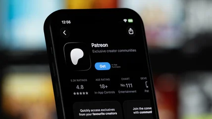
Read MoreWhile the company is trying to protect creators from AI, it still thinks the technology is changing how it does business.
Read MoreThe company wants people to be anti-doomer, but doesn't say why.
Read MoreChatGPT Health is rolling out to users in the US who are 18 years or older.
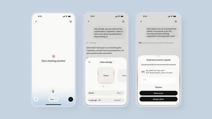
Read MoreClaude's voice mode hasn't been the most reliable, but this update should help.
Read MoreThe latest updates to Qobuz make it an even better alternative to Spotify.
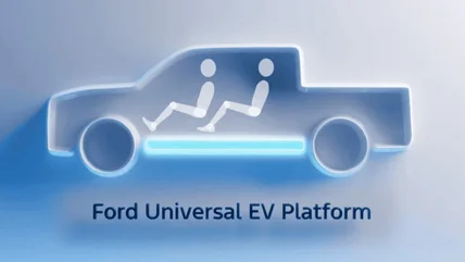
Read MoreThe car manufacturer is planning a big push into electric vehicles.
Read MoreCharing your phone in the car may technically use energy, but not enough to give a second thought.
Read MoreIt's a sign of how hard we're braced for the RAMpocalypse that Samsung adding just $100 to its prices seems reasonable.
Read MoreYou get a waiver! You get a waiver!
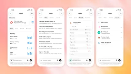
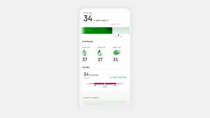
Read MoreUltrahuman's revamped app now offers better advice even when your phone has no connection.
Read More