1
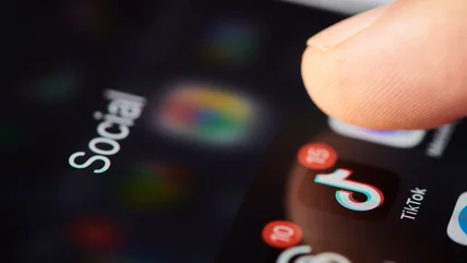
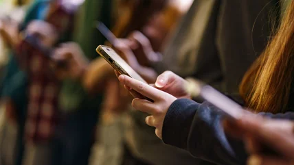
France will ban social media for children under 15
The country's new law also bans the use of mobile phones in schools.
Read More
The country's new law also bans the use of mobile phones in schools.
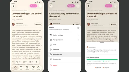
Read MoreSubstack is partnering with Pangram to add an AI detection feature.
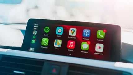
Read MoreAfter using CarPlay for years and testing dozens of apps, we've narrowed down the list of CarPlay apps you really need.
Read MoreThe Xteink X4 Pro is a tiny ereader for DRM-free books.
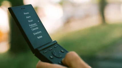
Read MoreThe new Light Flip is a mashup of the Light Phone III and an old-school flip phone.
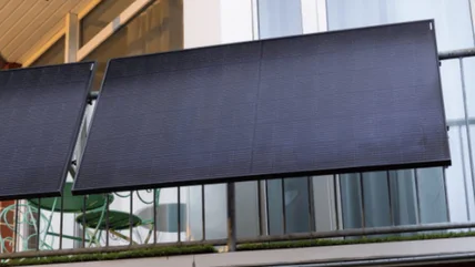
Read MoreThe UK has finally set a date for the legalization of plug-in solar panels.
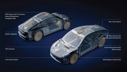
Read MoreTesla has revealed its upcoming Cybercab design with a built-in SpaceX Starlink V5 dish.
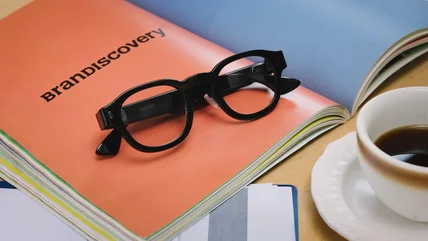
Read MoreLast year, Halliday launched one of the worst-reviewed pairs of smart glasses. Now it's back with a second-generation model to right its predecessor's sins.
Read MoreSamsung created a robotics division called RX, and its first product could be a humanoid robot.
Read MoreSony, the only major music label that has yet to sign a deal with Udio, has sued the AI music generator again.
Read MoreA federal judge has approved the $1.5 billion settlement between Anthropic and a group of authors who sued the company for using their work to train Claude.
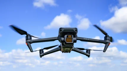
Read MoreSeveral companies suspected of selling DJI products under their own brands might soon be banned in the US.
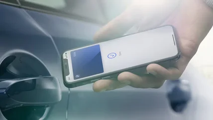
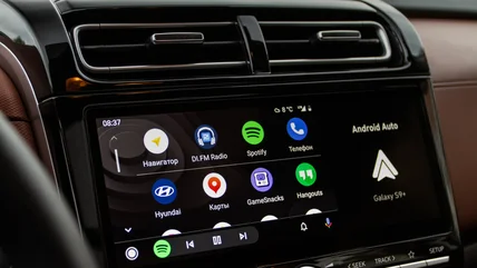
Read MoreDo you need to be in your car to set up your digital car key?
Read MoreAdobe's Project Indigo app will have new features like removing distractions and offering immediate photo feedback.
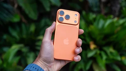
Read MoreApple devices tend to be pretty durable, and the average lifespan of a new iPhone seems to be fairly consistent.
Read MoreEurope just hit AliExpress with a record $629 million fine for allowing the sale of counterfeit and harmful products.
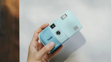
Read MoreThe $35 camera comes in seven colors and has a slide cover.
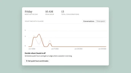
Read MoreBreak reminders are your friend.
Read MoreThe country’s gambling authority ordered ISPs to block access to the prediction market’s website.
Read MoreThe original lawsuit was filed in 2023 and claimed Twitter hosted thousands of cases of copyright infringement.
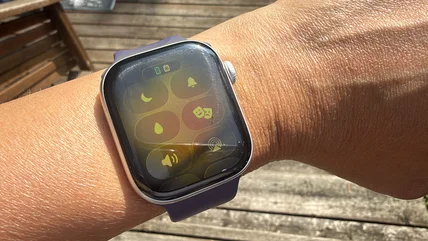
Read MoreThe water lock feature on Apple Watches automatically activates when you're swimming, but what does it do?
Read MoreGoogle and Apple were sent cease-and-desist letters regarding 13 apps on their respective stores.
Read MoreCutting the cord in your car is a simple upgrade.
Read MoreChinese company LONGi has developed crystalline silicon-perovskite tandem solar cells with a 35.5 percent conversion efficiency.
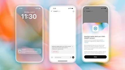
Read MoreOpenAI will send a notification to parents with linked teen accounts if their children have violated its policies around violence.
Read MoreUS government officially lifts TikTok ban on federal devices.
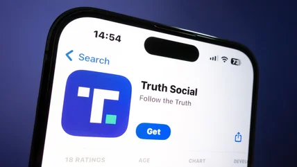
Read MoreThe API is supposed to deliver posts from 'the highest-ranking Truth Social accounts.'
Read More