0
Three publishers challenge Google over AI copyright infringement
It’s the latest in a barrage of efforts to win compensation from AI companies over training materials.
Read More
It’s the latest in a barrage of efforts to win compensation from AI companies over training materials.
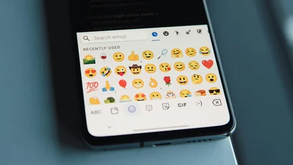
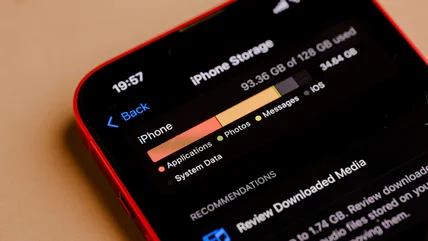
Read MoreWho has two thumbs and is broken inside?
Read MoreThe Fed dropped the ball, but California's new program will provide up to $3,500 in instant rebates to first-time EV buyers.
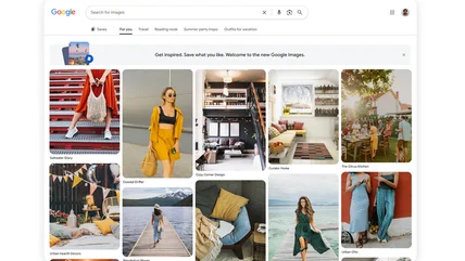
Read MoreGoogle has updated Images to surface results ’intelligently tailored to your unique interests.”
Read MoreThis simple, and sometimes free, change will enhance both your productivity and entertainment.
Read MoreThe frustrating science of keeping your ears from doing their job.
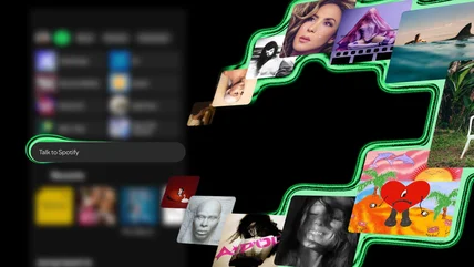
Read MoreSpotify is finally letting users control the app with their voice to create playlists or learn about songs.
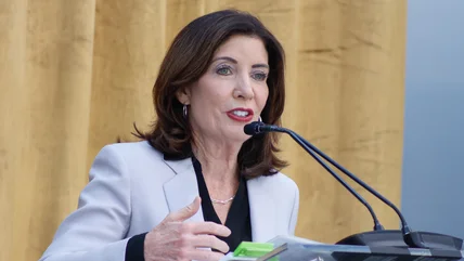
Read MoreNew York has become the first US state to place a moratorium on the construction of data centers.
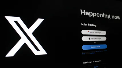
Read MoreX has made a tweak to give your replies a boost in your friends’ comment section.
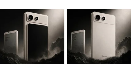
Read MoreThe Hisense A10 has an E Ink main display and a magnetic LCD screen you can attach to its rear.
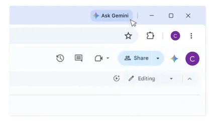
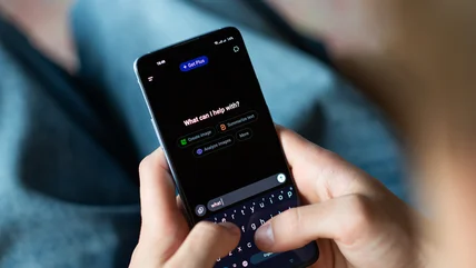
Read MoreChrome’s Gemini integration has arrived in the UK.
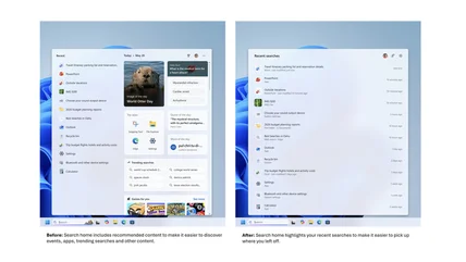
Read MoreBit by bit, Windows 11 is healing.
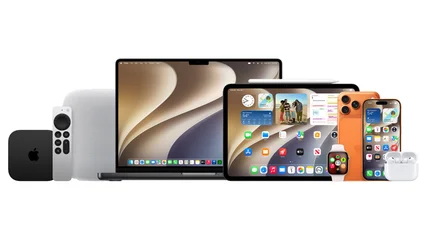
Read MoreTry the new Siri AI and system-wide performance improvements.
Read MoreThe two subscription services offer more than just extra storage, but getting the right one can save you money.
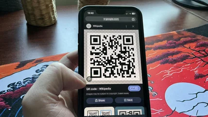
Read MoreAndroid and iOS both have built-in tools to easily open QR codes from screenshots.
Read MoreIf you like going on a long road trip, you might want to steer clear of these vehicles.
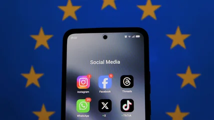
Read MoreFollowing a worrying new report, Europe is taking steps toward barring children from using social media.
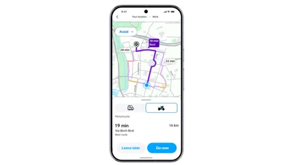
Read MoreLike Google Maps, Waze is going all-in on Gemini.
Read MoreThe best way to celebrate AI Appreciation Day is to not.
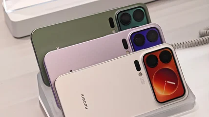
Read MoreThe Chinese company is allowed to sell its impressive phones in the States, but it doesn't. Here's why.
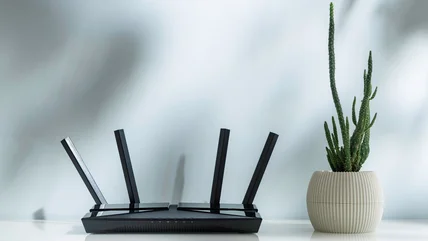
Read MoreKnow where to place your router and how to position its antennas should get you better coverage.
Read MoreGates, who is Bill Gates’ daughter, founded the app alongside Sophia Kianni.
Read MoreThe company also said a newer update is rolling out that should prevent the issue.
Read MoreThe role will be replaced by an executive in charge of both research and safety teams.
Read MoreSave your best ports for your most demanding devices.
Read MoreYour photos don't have to go home, but they can't stay here.
Read More